

You may also like

28/01/08
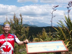
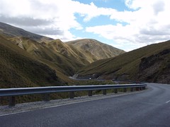
Well, what a fine day to you all! At this very moment, I find myself at the end of a long day in the saddle, with a sore butt for reasons I’ll reveal in just a moment. I’m listening to some great tunes on a record player of all things, in a farmhouse on a 400 Hectare farm of sheeps, goats, pigs, and cows! I’m hoping to buy some fresh sausages in a little bit if the hostel owners ever show up! Yup, the sign said make yourself at home, so I have. I had a nice shower, and found the record collection. Matt and Rob would be most impressed. I’ve got limitless choices of classic rock and a good record player for the evening. The view is pretty awesome too. So far, I have the whole place to myself. Not bad for 20NZD. Of course, I’m really in the middle of nowhere, and the place is called the Hu-Ha Bikepackers, so you know it caters to cyclists, which is a nice change. It’s in a good location for bikers, as to get here was a full day’s ride, but there’s nowhere else really close, so it’s an ideal cyclists stop, but not for car travelers. Anyway, read on for today’s tale, and check out the map.
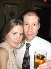
Well, it’s that time of the year, isn’t it? Office Christmas parties. This year, as a result of vaious things, I’m ‘lucky’ enough to attend 5 different events work-related. First, there was a luncheon at the Keg in the Market for all the employees under my executive director. Decent food and a few drinks, with nothing too outrageous taking place. Second event was a CRTC-wide Christmas party held, of all places, at the Legion over in Hull! The food again was good, and there was a fun band. The odd part about this party was that it is attended by mainly Broadcasting people from the CRTC (95% of the attendees). What does that mean? Well, I didn’t really know anyone, and it was on a work night, so Jody and I didn’t stay too long. Next up was Jody’s work party, which was held at the Rideau Club! Hoity toity, fancy schmancy, say what you will, either way you look at it, Suit and Tie is required. That doesn’t mean they stay on all night though! Like last year, this party turned out to be a spectacle of people getting progressively ‘tipsier’ as the night wore on. Now this is what I call and office Christmas party! I’ve put some of the pictures up on flickr, but some, out of respect for the people I didn’t know, were left out! I had originally planned not to drink too much, since Kev and I were planning to go snowshoeing the next morning. However, all that changed when Jody accidentally knocked a full glass of beer (not unlike the one in this picture) all over my suit! Since I smelled like a brewery, I decided I might as well play the part. Needless to say, we closed the party, and there was much bellowing, singing, and dancing. Luckily, we went home at a reasonable hour, and I got enough sleep to go exercising the next morning.
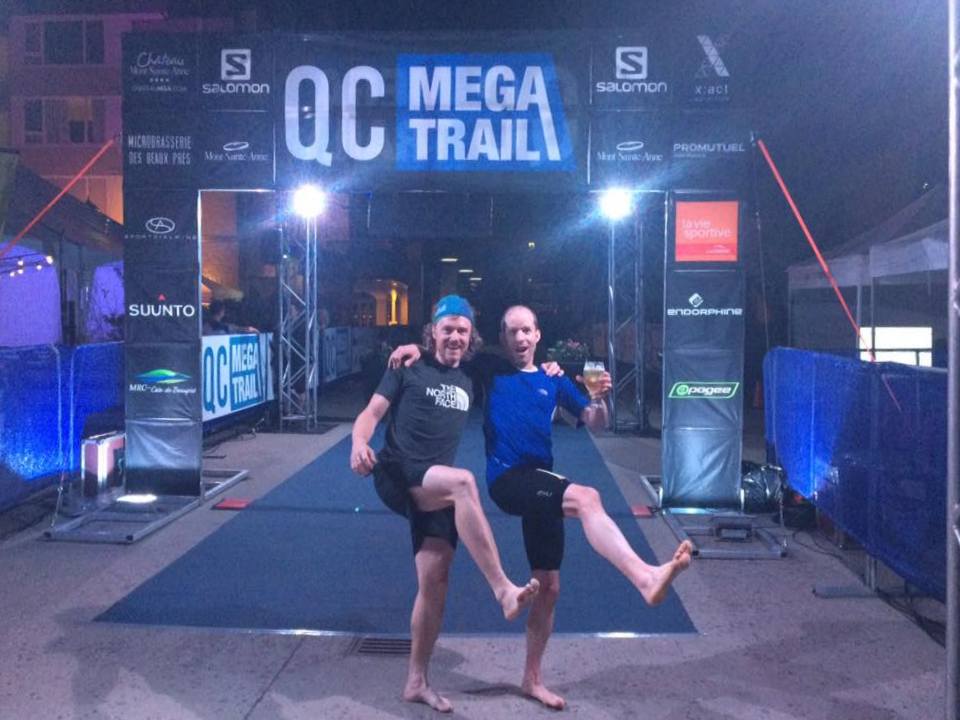
Good day friends! Well, after the last unsuccessful race outing (in my mind anyway), it’s time to put that in the past […]
12/02/08
Hello again blog-watchers. I’m writing this post to you from the adventure capital of the world, Queenstown! Yup, I made it to Julia’s place in one piece, after a nice challenging bike ride over the Crown Saddle via the Crown Range road. The weather was overcast to sunny for most of the day. The weather around here definitely changes in the blink of an eye it seems though. One second it seems like it’s going to rain down on you, and the next, the sun is beating you into submission. Crazy Kiwi weather. Now that I’m in Queenstown, I’ll be able to utilize all of lifes modern convenience like Internet, phone, laundry, etc, but the problem is that there is so much to do here. I’ve already spent all my petty cash, and am a couple days behind my blog posts, so I’ll have to try to be brief, although you all know just how terrible I am at being brief, don’t you? At any rate, check out the map and pics, and read on friends.