18/01/08
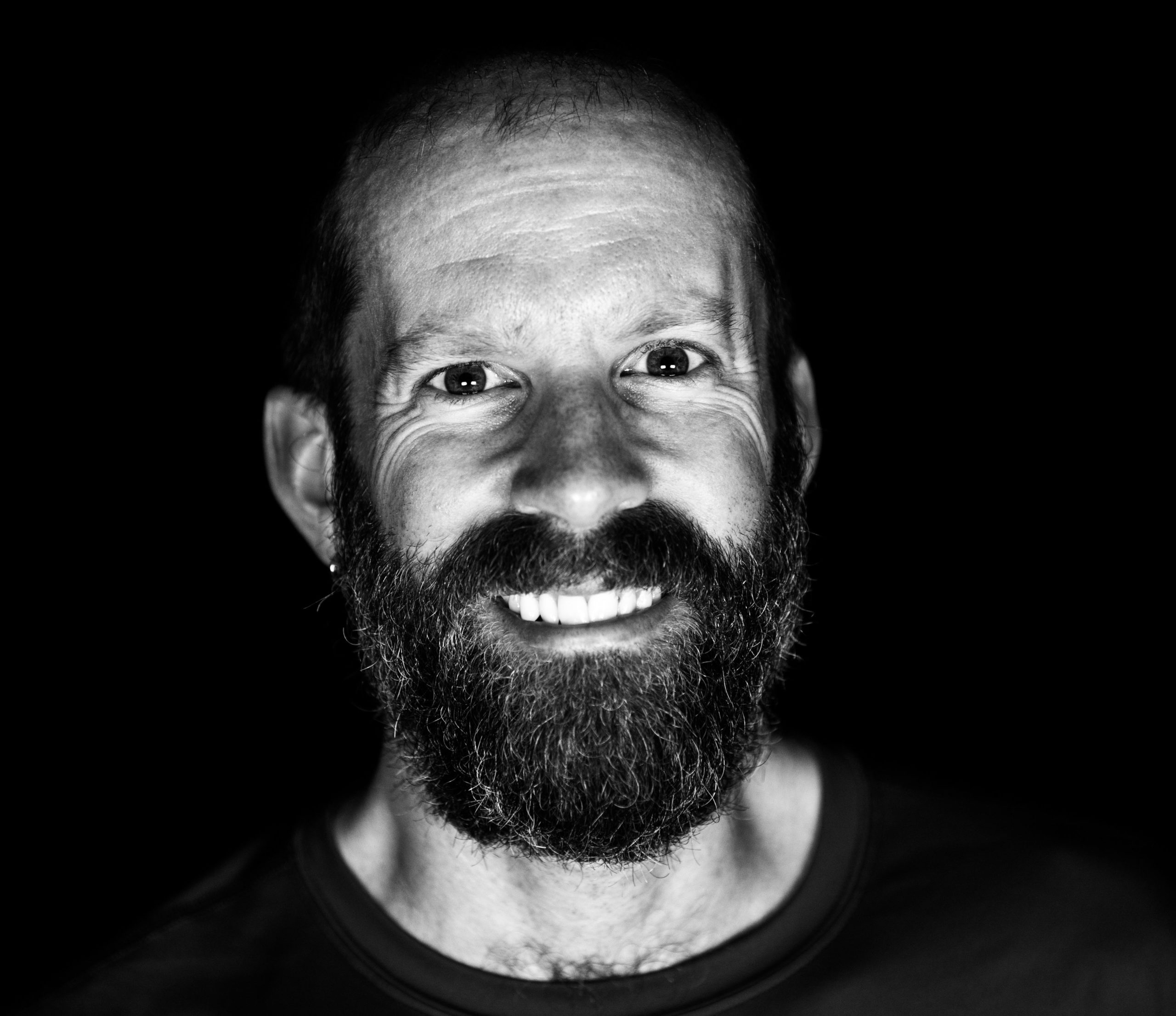
Hello again folks! Well, as I mentioned in the last post, today I spent the day in New Plymouth, as my bus wasn’t leaving for Wanganui until 5pm tonight. As a result, I predicted a fairly boring, lazy day. Well, I wouldn’t say that my day was boring at all. I ended up taking a bit of a road trip with a German couple to see a neat natural feature known as the 3 Sisters. Those of you looking at the picture and subsequent ones that will eventually get posted will note that they are not unlike Hopewell Rocks. You would be correct. They are indeed sandstone formations which arose over a long period of time as a result of erosion and big tides. This is a spot you can only visit during low tide, so we had to time our arrival correctly, which we did. I didn’t bother bringing along the GPS, although I wish I did. I’ll try to put some sort of map together, but no guarantees. Either way, read on for a bit more about my past 24 hours in New Plymouth.
Travels
17/01/08
Hello hello hello. What have we here? Some curious readers? Well, I guess the post and picture really don’t leave all that much to the imagination, do they? You already knew that I was planning on summiting Taranaki today, and, well, I did. And rather quickly at that. I had all sorts of concerns vis a vis weather, time to climb, clouds rolling in, finding a way there, and so on and so forth, but yet again, things worked out splendidly for the little cyclist that could. I’m super-glad that I tacked on this side trip on my North Island touring schedule. As it turns out, the weather was brilliant for my climb, and everything was great. I’ve put a map up on the ole blogosphere for you to check out. Yep, there’s a lot of pictures to go through, but hey, they’re worth it. The stats are for just the climb and descent part, not including the drive up to the mountain, in case you are wondering. For more details, read on.
16/01/08
Hello from the west coat of the North Island! Today I really did a day off. I took a bus from Wanganui up to New Plymouth. The ride was about 162km, which meant biking there and back would have taken at least 4 days, time which I simply can’t spare if I hope to be on the South Island by February. However, I did want to come up this way and take the time to check out Mount Egmont / Mount Taranaki. Yes, the second-highest peak on the North Island has two names. One is the Maori name, and the other is left over from when NZ was colonized. Nowadays, most people are referring to it as Taranaki, which I think is the better name anyway. Of course, there is more to this region than just the massive volcano which acts as a stand-in to Mount Fuji in the movie ‘The Last Samurai’. If you want to learn a little more, just read on, and don’t forget to check out my ever-so-useful map that I put together.
15/01/08
Hi gang! Wow, another day has gone by, can you believe it? I just heard that some of you are wondering where all the posts went. Well, don’t worry. As you can see, I’ve been keeping up with my end of the bargain, but the NZ Internet it not living up to its potential yet! Hee hee. At any rate, I, your humble scribe, am still hard at work. Both on the road and off the road, so I bring you yet another story in the life of ActiveSteve, even though you haven’t seen any for days on end 🙂 Today I was heading from Raukawa Fall, the YMCA camp, down to Wanganui, a shortish 60km ride taking me to the Tasman Sea, and closer on the route to the south Island. As mentioned earlier, I’ve booked a return bus trip to New Plymouth from here, in order that I may check out the Eastern Coast of the North Island, and Mount Taranaki in general. This is not in any sort of violation, as I’ll still be biking from north to south on my trip, but otherwise, I would have to spend at least 4 days (2 up, 2 back) just to check out that town, and I wasn’t about to do that. Anyway, read on for a little bit about today and Wanganui.
14/01/08
Happy Monday to you all! As you’ve probably noticed, I was unable to post anything last night. This wasn’t because my hostel didn’t have the facilities, but rather because according to the manager there, the Internet was down all across New Zealand. That’s too bad, because I was hoping to get you caught up on my exploits. However, as I now find myself in essentially the middle of nowhere (Raukawa Falls), I still won’t be able to post anything. I have high hopes for tomorrow however, as I’ll be in a town of over 40,000, so surely they’ll have fixed the Internet there, right? Hee hee. Well in spite of that, my trip continues, and I have a new post to write for you all. Today Ralph and I bid farewell to Tongariro National Park, and made our way (mostly downhill) to the Raukawa Falls Adventure Centre, which is a YMCA camp, but also has cabins for independent travelers. We got a cabin for 15NZD each. Not bad. The location isn’t too shabby either, with some really cool falls nearby, as well as a flowing river behind our cabin. So, read on for my little story, and don’t forget to check out the day’s map. With the return of reliable power, I can give you an accurate map now 🙂


