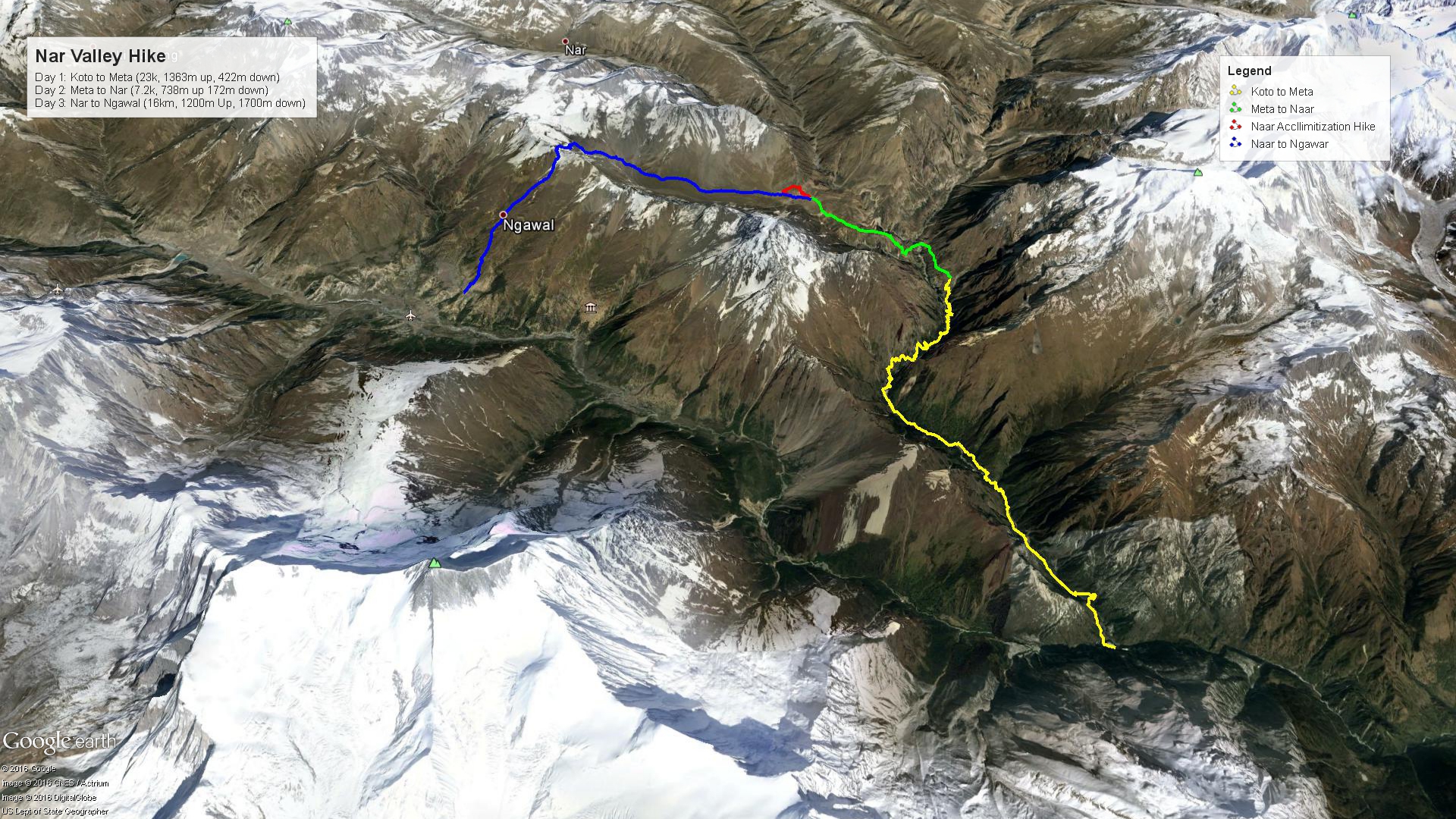
After our first couple introductory days of hiking, it was ‘high’ time to get into the proper mountains! The next section of our trip was a 3-day stretch through the Nar Valley, a place only visited by those with the proper permits and an official guide. We were originally supposed to take a rest day somewhere on this leg, but opted to push on in order to be able to visit other places. The absolute highlight of this part of the trip was crossing the Kang-La Pass, situated at 5,320m above sea level. Read on to hear all about it, and check out the map of this sections’ trekking below.
Koto to Meta
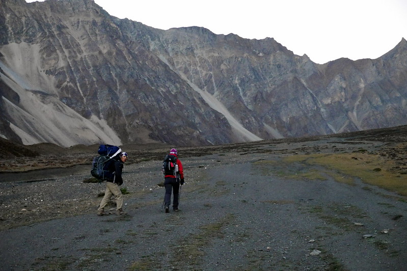
The first part of this trek was a gorgeous trek through the Nar Valley itself. For the most part, this was forested trail, and quite desolate / remote. That is to say, we didn’t encounter a single soul for most of the day along this route. It was also one of the few part of our entire trip where we were crossing through any villages during the day, which meant we actually had a packed lunch and just stopped at the side of the trail to chow down on lunch when we felt hungry.
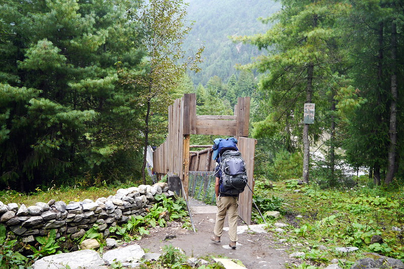
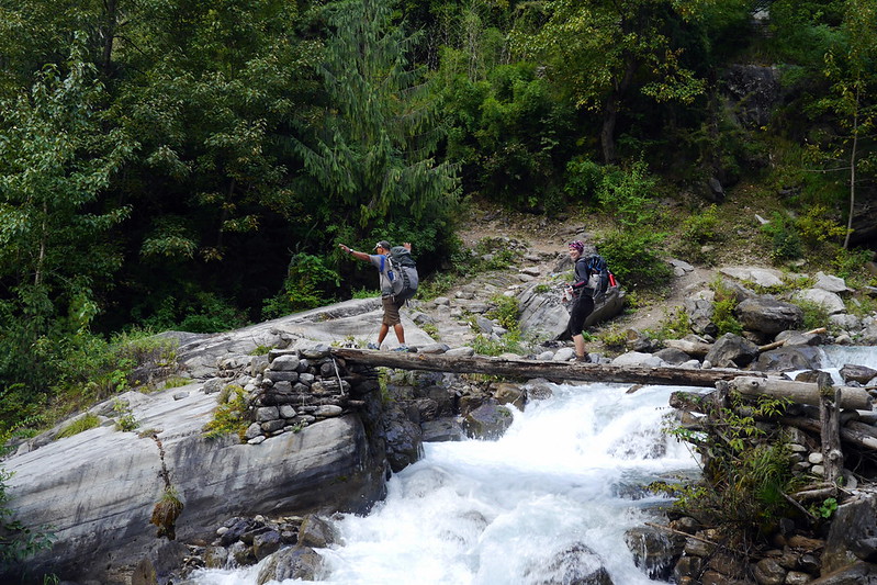
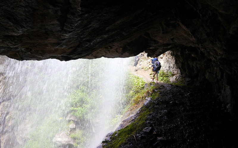
This entire day was pretty much uphill the whole way. We had started our day at about 2,600m, and finished off at 3,560m. After we crossed the river leading to the Nar Phu valleys, we hiked up through beautiful woods above the Phu Khola (river). The route took us past several small shelters (caves) and a pilgrims’ ‘Dharmasala’. As we emerged out of a narrow canyon, the trail actually passed under a wide waterfall just before the dharmasala, from which point the woods become thinner and the vistas wider. A steep climb up the valley along a small, scenic river brought us to a high pasture on a plateau and finished off at Meta.
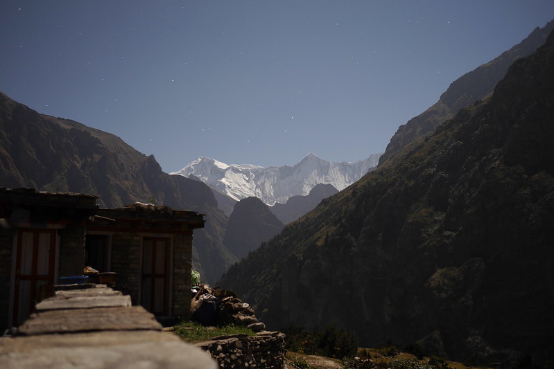
Although the clouds had been denying us any views of the mountains up to this point, we got a very nice surprise overnight. After a hearty supper prepared in front of our eyes on a roaring fire in the guest house where we stayed (the only one up here!), we crawled into our sleeping bags to fight off the chilly mountain air and get some rest. However, as often as it does, the call of nature came halfway through the night for me, so I trudged out to find the squatter to do my business. What I say bowled me over! It was a perfectly clear night, and a full moon! It was almost as light as day up there. Of course, I grabbed my camera and a tripod to grab some amazing pictures of this sight. It was great to finally see the mountains, and got me suddenly very excited for the next few days up here in the high mountains!
Meta to Naar
After a ‘brilliant’ night in Meta, we were pumped to get up and start trekking again. We were greeted in the morning with a full bright sun, and near-cloudless skies. Finally, we were immersed in the majesty of the mountains all around us, and would be spending our whole day wandering and marveling in them. Due to the topography, our day started with a lot of downhill hiking down the valley, only to climb all the way back up and out of the valley. Distance-wise it wasn’t the long of a trek (under 8k), but all of this was at higher elevations, so we took our time and enjoyed the day. We’d be finishing off at 4,150m this day.
The scenery on the day was just amazing. I was more than happy to keep a leisurely pace and just soak it all in. As our guide put it:
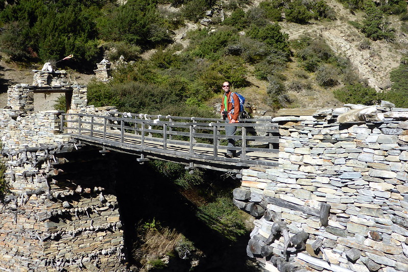
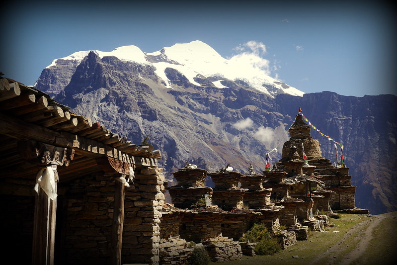
This morning is one of the loveliest walks in the Himalayas. The landscape is white rocks, low shrub and juniper, scattered evergreens, delicate brick-red and orange leafed bushes, crumbling shelves of flat slate, white, sandy trails and gnarled trees. The mountains around us were utterly spectacular, and the Phu Kosi (river) shadows the trail far below. An hour past Meta, Junam is the second semi-permanent settlement, one where “khampas” from Tibet sometimes sheltered. Above the kharka to the right looms a massive glacier, which falls jaggedly down to the high pastures above us. It’s all truly amazing scenery. Across the river, the cliffs contort in swirls and waves, similar to Ladakhi landscapes. Trek descend to Nar Phedi after crossing Mahendra Pul as we trek down to the old bridge spanning a deep, contoured and narrow gorge. After crossing a bridge a short hike near the Yonkar Gompa as there are 2 monasteries lower one is older and upper one is newly build. From here gradually hike up to reach the Nar gates at the top of the hill, and pass by yet another line of wonderfully painted, bamboo-topped chortens and a large tiered chorten before turning the corner and being rewarded with sublime views of Nar, the undulating patterns of the surrounding barley and mustard fields, four old, colorful and traditional gompas and the snow-peaks looming overhead. Physically, Nar is not far from the main Annapurna trail, but it feels centuries away, is rarely visited by trekkers and is about as picturesque as they come.
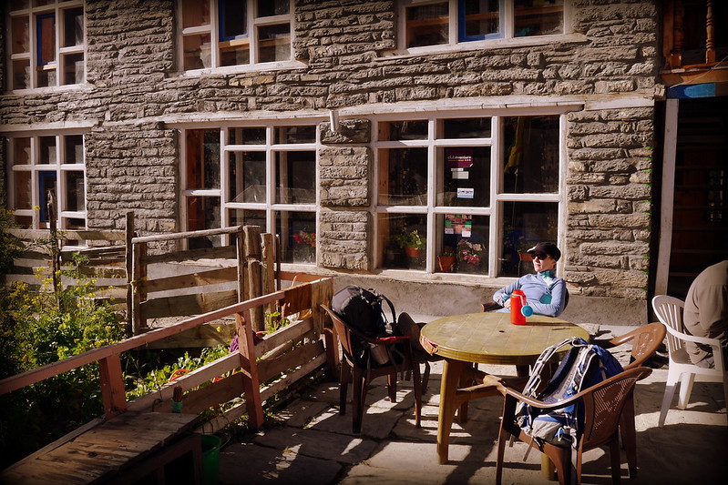
I really can’t describe it any better than that narrative, which gives you a good idea of what we were enjoying. Because it was a relatively short hiking day, we were in Nar before lunch. This gave us a chance to enjoy the sunshine, and experience a bit more of the village life, including watching the locals hard at work chipping stones to build a new guest house. It was pretty impressive to watch them working, using only hand tools, and carefully building a structure from stone that is hand-hewn and could stand up to the rigors of life at over 4,000m!
Since we had the extra time, we decided to head up a little higher and do an acclimatization hike. After all, tomorrow’s trek would take us up to the dizzying height of 5,320m as we crossed the Kang-La pass! These short hikes are a great way to prepare your body for the stresses of working in lower oxygen levels. Of course, Deanna and I were ‘cheating’ just a little bit, as we’d opted to start taking Acetazolamide, a drug that helps speed up the body’s natural acclimatization. We really didn’t want to risk having a bad day up in the mountains! We only went up about 180m from Nar, but it provided great views over the village, and made for the perfect pre-supper activity.
Naar to Ngawal via Kang-La Pass
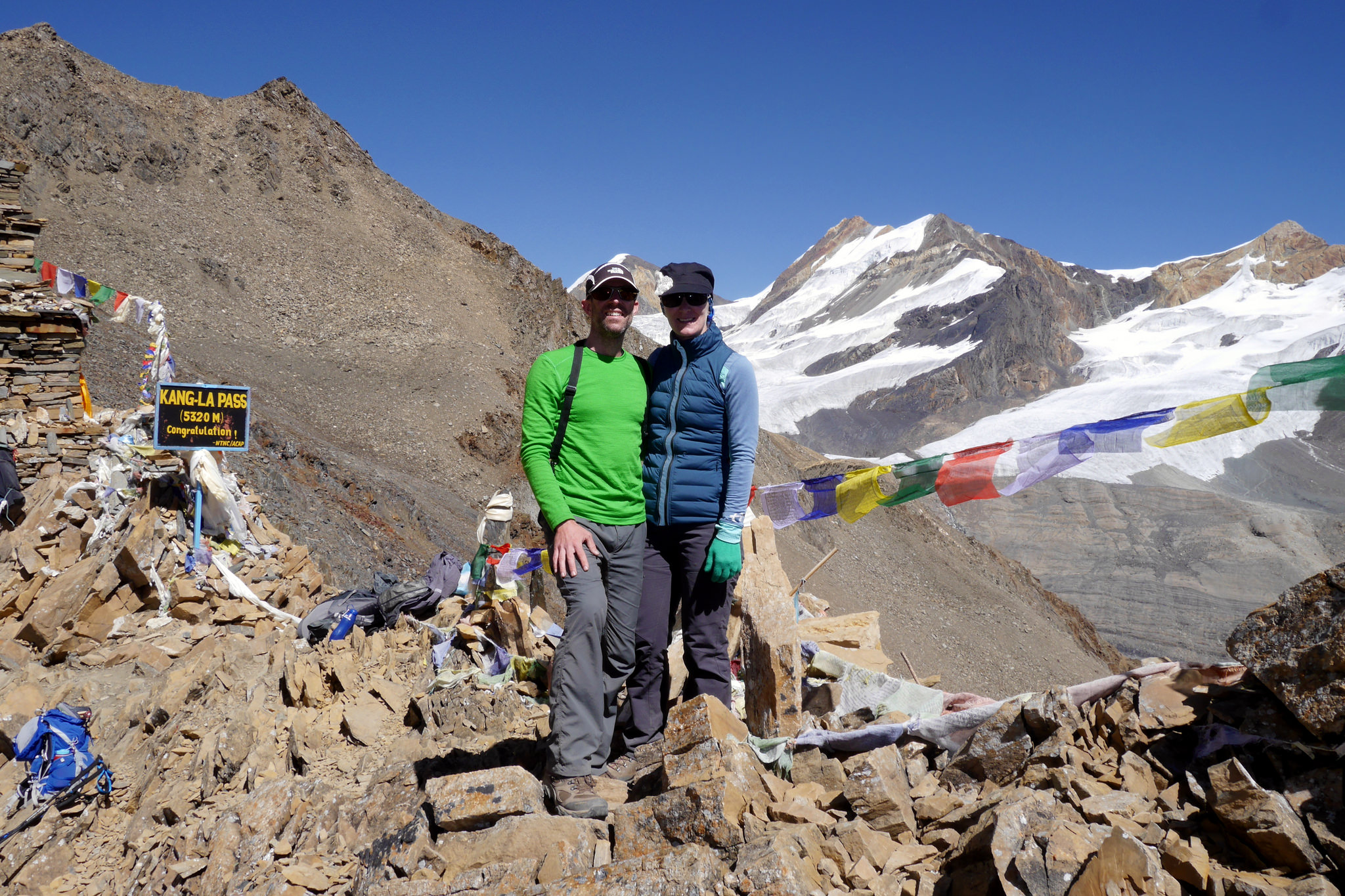
Little did we know when we set out in the early, very cold, morning, that this would turn out to be the single greatest day of our entire Nepal trip! We knew it would be impressive due to the surrounding mountains and the high pass we’d be crossing, but honestly, this was both humbling and flooring from both a scenery and effort perspective. It was a long day of trekking, and also involved a LOT of climbing followed by A LOT MORE descending. It’s safe to say that by the end of this day, we were completely pooped! We started at 4,200m, climbed to a max of 5,320m, then descended all the way to 3,650m. The first 9.5k was all uphill, and the last 6.5k was all downhill, and VERY steep!
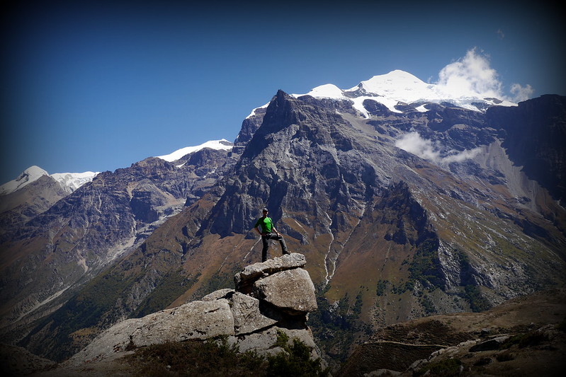
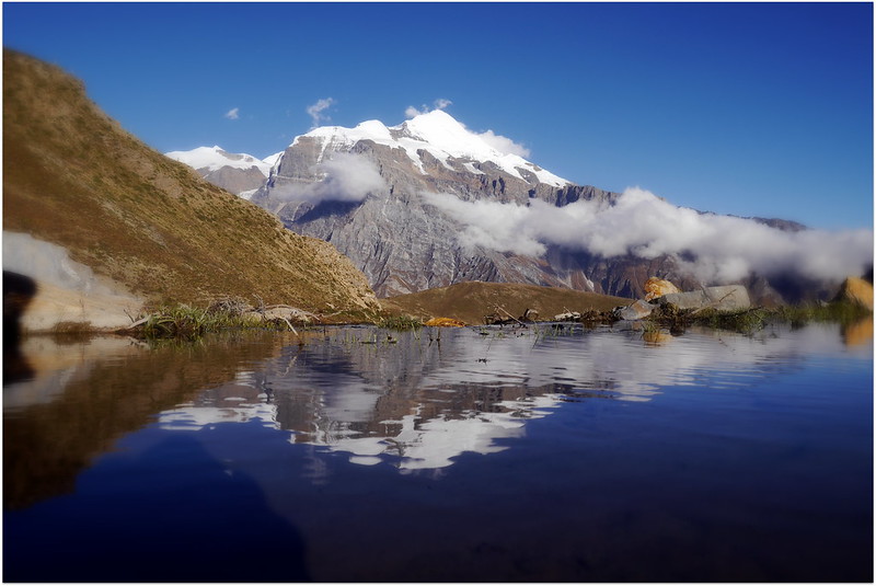
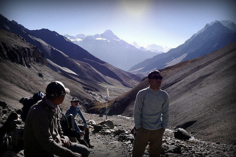
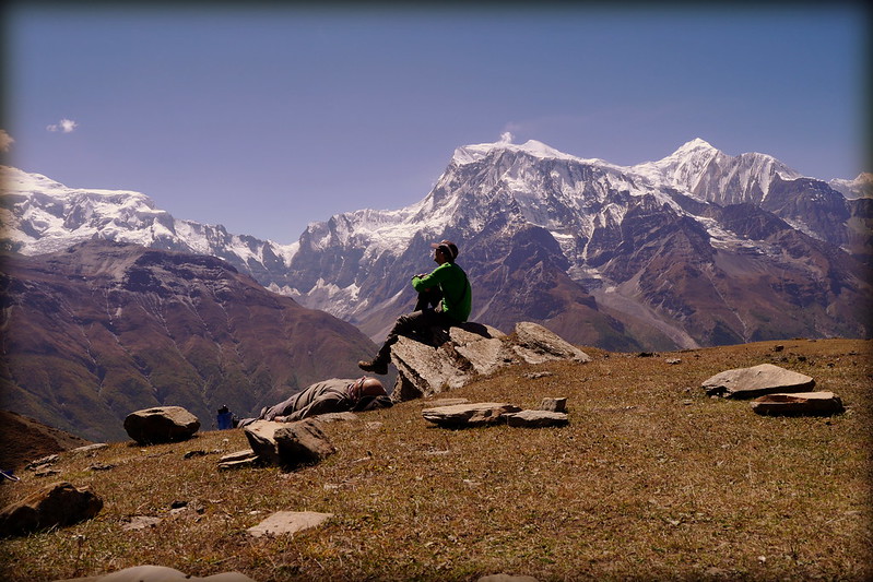
The day was absolutely stunning, and we found ourselves making pretty good time on the way up. Generally, when you get to the really high elevations, you spend only a short time before heading back down, but it was just too beautiful, and we were all feeling really good, so once we arrived at Kang-La, we decided to hang out for a while, including eating our packed lunch up there at 5,320m, surrounded by the gorgeous views of the Annapurna range including the peaks of Annapurna II, Annapurna IV, Annapurna I, Gangapurna, and Tilicho. I’m not sure I will ever experience and see as beautiful a sight as we did that day. I think it was made even better by the fact that very few tourists make it up to this path, and we were almost alone up there. I say ‘almost’ because a small group of 4 Norwegians and their guide did eventually join us up there. Wondering about the view? Well, this will give you an idea:
Another thing we took the time to do up there was to undertake a typical ceremony, involving lighting incense, blessing a roll of prayer flags, and then laying them out up there. Deanna and I quite enjoyed this process, and were pleased to have our very new, bright colourful prayer flags join the many others that were already up there, but faded due to exposure. After finishing off our lunches and realizing we still had a fair ways to go downhill, we decided to head down. And boy, what a downhill! The trail down was initially very steep; scree jumping was the easiest option for the descent. After the scree, it was still pretty steep going, and we eventually made it to a plateau overlooking the peaks, which gave us a chance to rest sore knees and shaky legs. We were so shaky from the descent that we all collapsed in the grass, not caring much about the dried yak dung dotting the pasture!
From here we would continue to contour the mountain to get to Ngawal, which is on the upper Pisang route of the Annapurna circuit (off the main Annapurna circuit). The walk down was very nice, and while we should have taken it really easy and enjoyed the views, we couldn’t help but to go pretty quickly. The end result were some very tired legs when we finally arrived at our guest house.
But the day’s fun wasn’t completely over yet. After a nice little nap on arrival, I got up and did a little exploring around the village, and then, treated myself to some hot water for a mini shower! It had been a few days, so it felt quite heavenly. Not only that, but later on, I even managed to get some fresh popcorn and a beer! Yup, the day ended absolutely perfectly, and resulted in a perma-grin on my face for the rest of the day. The next day, we’d be joining back up with the main Annapurna circuit, and start the next part of our trip, and climbing even higher to celebrate our 2 year anniversary! Stay tuned for that post next!




One thought on “Nepal: Climbing to 5,320m in the Nar Valley”
Bonjour
Quel avanture, c’est tres bon souvenir du trek les vallee du naar phu. C’est authentique et isole
Merci pour tous les details de trek